
Locating a really isolated fishing haven in the modern era seems almost out of reach. Popular piers fill up quickly, and your preferred nearby shores probably face heavy fishing. This situation explains the value of “Ghost Spots,” which represent those concealed treasures absent from typical route charts yet brimming with promise. Accessing such remote waters demands more than a simple online chart; it requires a focused approach and sturdy professional tools. Laike delivers a complete sourcing solution encompassing everything from high-strength fishing reels to custom bait options, guaranteeing readiness for the tough demands of remote ventures. With operations across more than 20 nations and a standing for “rugged reliability,” Laike serves as the ideal partner for any fisher aiming to convert satellite data into a trophy haul.
Why Do Your “Secret” Fishing Spots Keep Drying Up?
It proves quite annoying to reach your go-to location only to discover vehicles already lined up there. In truth, conventional fishing sites endure intense strain from online sharing and easier entry points, which together erode their appeal over time.
Constant Fishing Pressure
When numerous fishers visit one zone repeatedly, the resident fish grow cautious toward common baits and nearby movement. This added strain prompts larger specimens to shift to deeper zones or isolated shelters, where they escape ongoing disturbance more effectively.
Inaccurate Standard Maps
Everyday routing tools cater mainly to motorists rather than fishers, frequently overlooking shifts in water levels or concealed routes. Consequently, a marked stream might appear viable on screen, yet it has vanished in reality, or a fruitful lagoon escapes notice because dense foliage hides it from view.
Lack of Exploration Gear
Countless fishers spot promising areas via charts but possess insufficient tough tools to access them. Without solid, dependable tackle capable of enduring treks over rough underbrush or uneven ground, prime “ghost” sites stay beyond practical reach.
How Can Satellite Imagery Reveal Unfished “Ghost” Waters?
Advanced imaging lets you function as a virtual explorer, pinpointing viable zones well before departing home. By activating satellite or combined views, you penetrate foliage and glimpse beneath the surface in manners unavailable years back, thereby cutting wasted travel and guiding you straight to active fish. To maximize these finds, employing top-tier items like Laike’s alloy-geared fishing reels guarantees the strength required to secure those elusive catches once located.
Identification of Bottom Composition
Clear, detailed views reveal shade shifts signaling varied depths and bed materials. For instance, shadowed regions typically denote profound basins or thick plant growth, whereas pale spots suggest shallow gravel bars or stone outcrops where fish gather for meals.
Detection of Stealthy Access Points
Search for gaps in overhead cover or narrow land paths reaching the shore distant from highways. Such discreet trails offer private gateways to shore angling areas that probably have avoided bait for months, if not longer.
Spotting Underwater Structural Gems
Enlarge views of lakes to detect sunken paths, former stream beds, or groups of downed wood. These features draw predatory species by supplying ideal strike zones and protective shade that they naturally seek.
What Environmental Markers Signal a Goldmine Hookup?
Mastering a remote site hunt involves spotting particular natural cues hinting at a vibrant, functioning habitat. Since not all water bodies yield results, you should interpret the online terrain for vitality signs, which in turn help rank coordinates deserving the effortful journey over mere idle pools.
Water Color and Clarity Indicators
Seek zones where contrasting hues blend, commonly termed a “mud line,” arising near inflows or stream outlets. These areas abound in oxygen and food sources, luring forage fish along with the bigger hunters that trail them closely.
Vegetation and Cover Density
Vibrant green patches on display often mark lily clusters or underwater grass zones. Such settings prove crucial for types like bass and pike, delivering midday shade and optimal foraging areas that provoke bold attacks.
Seasonal Water Level Fluctuations
Historical view features enable tracking site variations across dry and rainy periods. Locating a profound basin retaining moisture amid scarcity ensures a dense fish grouping remains viable year-round.
How to Prepare for an Off-Grid Scouting Mission?
After selecting your goal, tangible readiness commences, as venturing to ghost sites frequently involves straying from trails and testing gear limits. You require items crafted under a “practical engineering” mindset, merging power with minimal weight, and sourcing from a provider enforcing rigorous checks plus ISO standards remains the sole assurance against breakdowns far from aid.
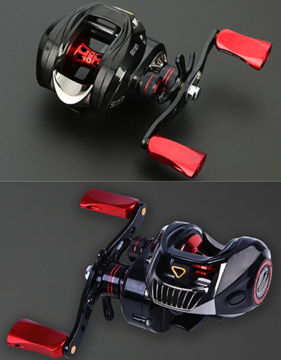
Durable Gear Selection Criteria
Your setup should manage the dirt and wear of untamed settings effectively. Opt for parts such as corrosion-resistant bearings and metal cogs that deliver fluid operation and lasting strength across fresh or saline exposures.
Portable Tackle Management Systems
Given the probable foot travel involved, your bait organization must stay compact and simple to transport. Adopting streamlined packs and light pole-reel pairs lets you maintain agility while surveying various shoreline segments.
Essential Safety and Navigation Tools
Securing a distant site succeeds only if safe return follows, so always include paper charts as digital supplements and select gear with bright accents or comfortable grips to ease strain over extended outings.
Why is Laike Gear the Ultimate Companion for Discovery?
Shifting from screen points to actual hauls hinges fully on tackle trustworthiness, and this company has refined the mix of expert setup and budget-friendly costs over ten-plus years. Their lineup withstands “real-world trials,” from northern ice angling to pursuing big game in warm streams, and selecting from a outstanding manufacturer invests in the tough output that has won over users in 31 lands.
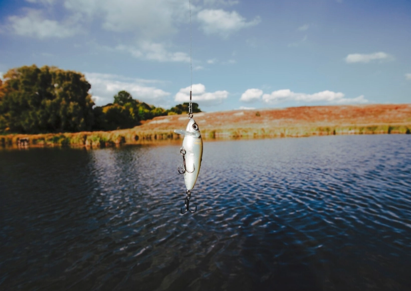
Professional Grade Fishing Lures
The lineup includes over 500 variants, featuring targeted baits engineered to elicit bites from untamed stock. These imitations replicate regional forage with precise detail, rendering them highly effective in low-pressure environments.
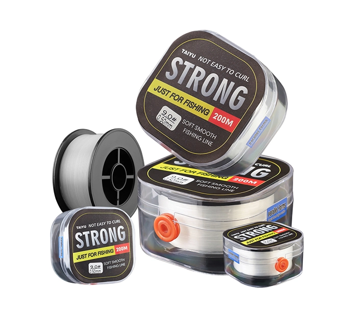
Innovative Terminal Tackle Solutions
Dependability resides in elements like premium hooks, connectors, and specialized fishing lines. Upon snagging a remote “ghost” prize in an isolated basin, these pieces maintain the link to your quarry without fail.
Customization for Specific Environments
Backed by design advisors in the USA and Germany, the firm leads in innovation. This knowledge enables supplying tackle finely adjusted to the water conditions and target species uncovered through your imaging analysis.
How to Turn Digital Coordinates into Real Catches?
Arriving at the edge marks merely the start, for your entry method shapes the outcome in these wild settings where fish react keenly to noise and outlines unlike those in crowded venues. Thus, a tactic of quiet accuracy proves vital, and positioning achieved, your robust fishing tackle handles the core effort.
Strategic Approach and Stealth
Steer clear of direct shoreline steps that could cast alerting shadows over the water. Rather, retreat slightly and leverage the foliage noted on your satellite chart to conceal your form during initial throws.
Efficient Lure Presentation Tactics
Within fresh territory, apply a patterned “sweeping cast” technique to span the surface broadly. This approach swiftly reveals fish positions, be they hugging edge shelter or hovering in the profound routes mapped earlier.
Documentation for Future Success
Record details of discoveries, encompassing exact positions and site weather at the time of success. Such notes sharpen your imaging interpretation abilities, simplifying the hunt for subsequent “ghost” havens ahead.
Ready to Claim Your Own Secret Fishing Territory?
Fishing realms grow ever broader, with the prime window for securing fresh, undisturbed waters arriving presently. Merging current digital survey methods with the sturdy value of expert tools lets you evade throngs and reclaim angling’s core rush. This producer’s pledge to “prompt shipping” and “reliability assurance” equips you fully for upcoming quests, and whether expanding a tackle venture or enhancing personal kit, their contact page provides entry to skilled aid and round-the-clock response.
FAQ
Q1: What is the best time of year to use satellite imagery for scouting?
A: Late autumn and early spring are ideal because there is less leaf cover on the trees, allowing you to see shorelines and underwater structures much more clearly.
Q2: Can I find these ghost spots using free versions of map apps?
A: Yes, standard satellite views on most free apps are sufficient for finding large structures and access points, though professional topographic maps provide more detail on water depth.
Q3: Is it legal to fish in any “Ghost Spot” I find?
A: You must always check local regulations and ensure you are not trespassing on private property; look for public easements or high-water mark laws in your region.
Q4: Do I need special lures for unfished waters?
A: Wild fish in hidden spots are often less picky, but they respond best to high-quality, realistic lures that match the natural bait found in that specific environment.
Q5: How can I tell if a spot is too shallow to fish from a satellite image?
A: Look for the presence of rocks or logs breaking the surface; if the water is very light in color and you can see the bottom clearly, it is likely too shallow for large fish unless there is a nearby drop-off.